Footage library
Every flight, compressed for your phone and watermarked. 56 clips · 2 hr 26 min · 7 places.
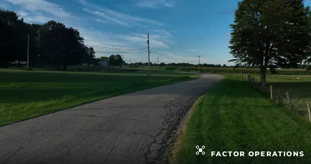 2:10Country Road Fields and Powerlines
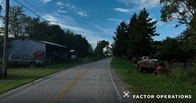 4:05Blue Car on Country Road
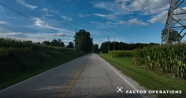 3:52Rural Road Through Woods and Cornfields
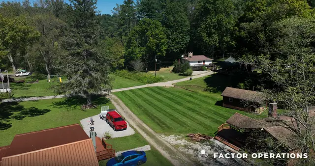 0:27Cabin Campground and Red Truck
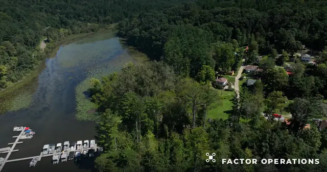 3:41Wooded Campground Clearing
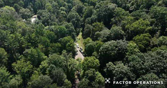 3:53Lakeside Cabin Campground Aerial Tour
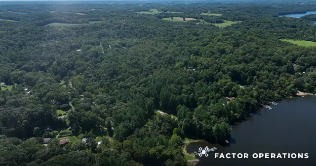 3:42Forest Lake and Cabins Aerial Tour
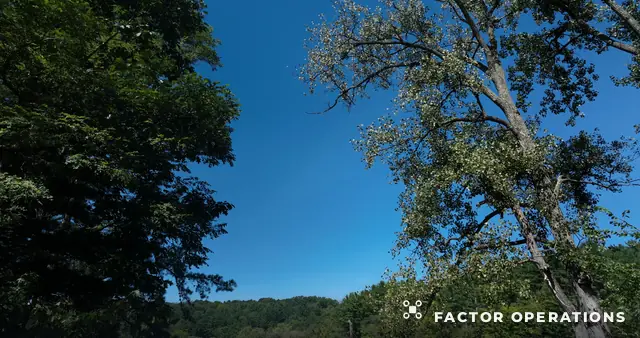 1:51Lake Marina and Forest
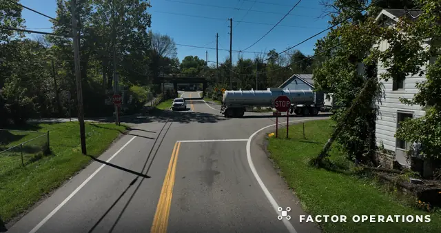 0:34Rural Intersection
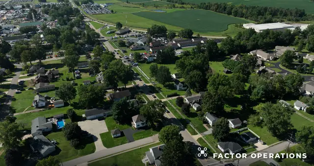 1:27Residential Neighborhood Aerial Tour
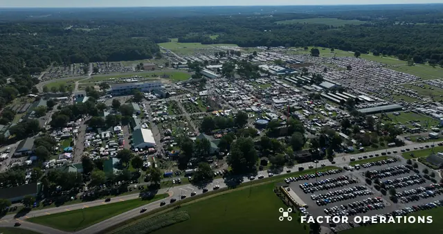 0:53Fairgrounds and Town Wide
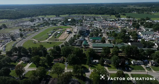 0:46Fairgrounds and Town Aerial Panorama
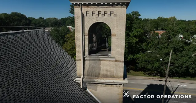 3:54Church to Small Town Aerial Tour
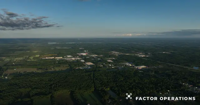 1:04Wide Rural Countryside Panorama
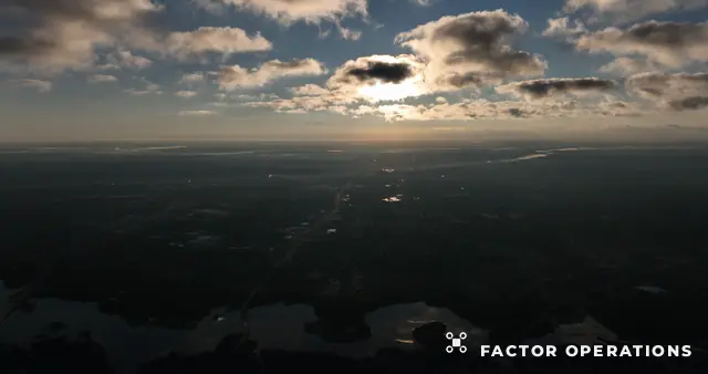 1:07High Altitude Countryside and Sunset
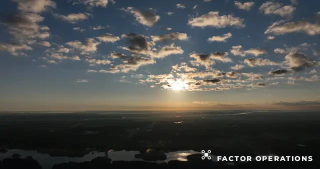 3:03High Altitude Sunset over Lakes
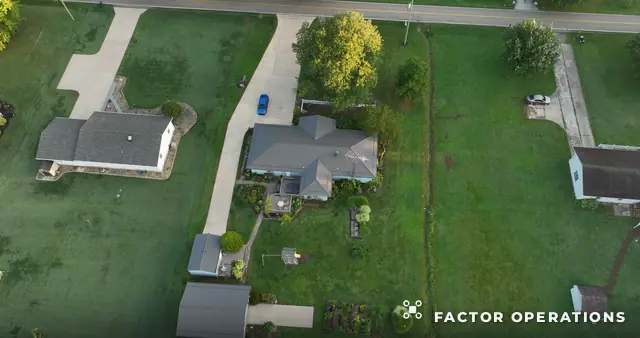 0:10Rural Homes and Yards Top Down
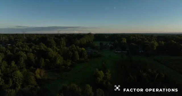 0:24Rural Neighborhood at Dusk
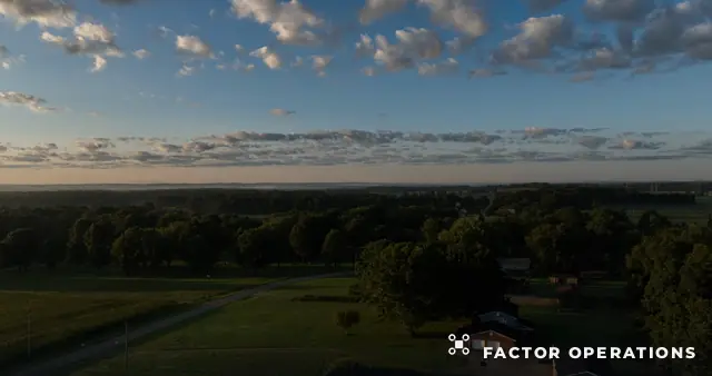 3:46Rural Homestead to Sunset
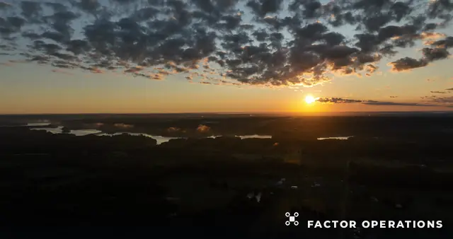 3:48Sunset over Lakes and Countryside
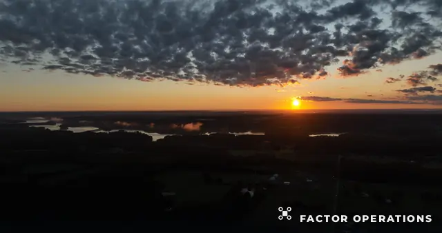 5:49Golden Sunset over Lakes
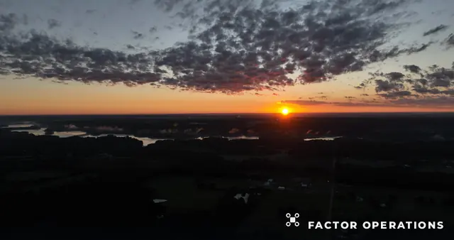 5:45Bright Sunset and Rippled Clouds
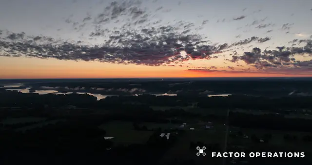 6:04Red Sunset under Clouds
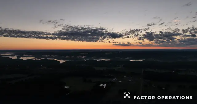 5:30Sunset over Lakes and Farmland Flight
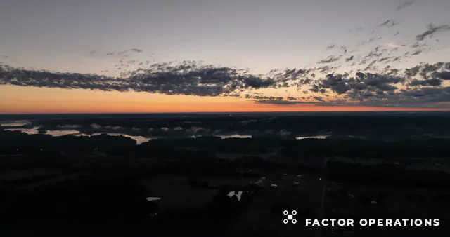 0:03Sunset Horizon
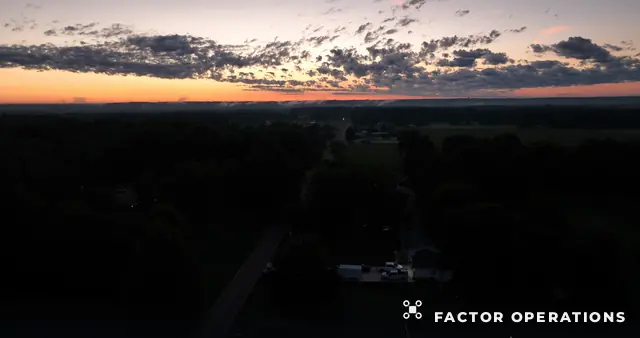 1:13Sunset over Lakes and Farmland
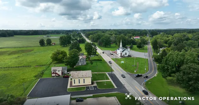 2:38Rural Neighborhood and Road Aerial Panorama
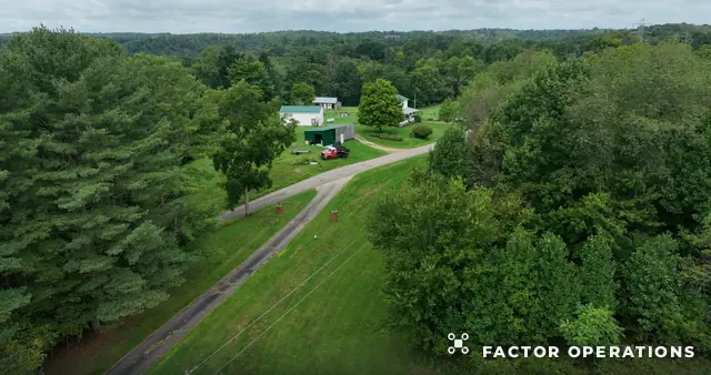 3:13Railway Corridor Through Woods
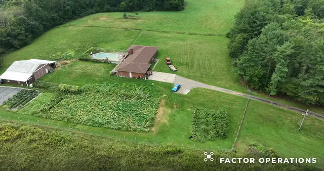 0:53Field and Powerline Aerial Flyover
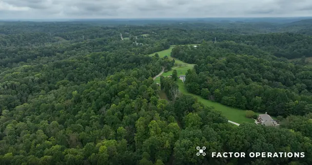 3:05Rural Property and Forest Aerial Tour
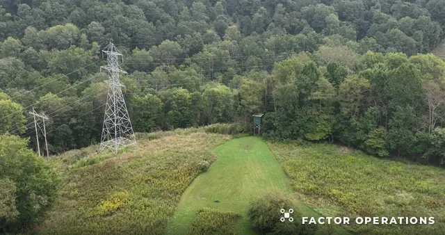 0:02Powerline Clearing over Forest
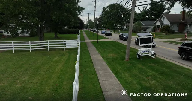 0:16Residential Corner and White Fence
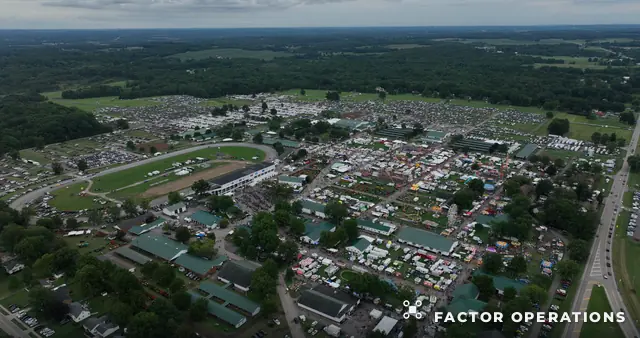 1:17Fairground Trailer Park Wide
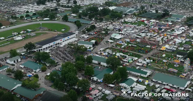 3:13Fairground Trailer Park Aerial Tour
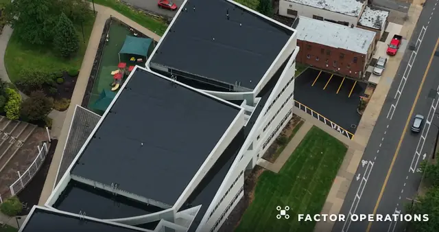 1:09Downtown and Stadium Aerial Flyover
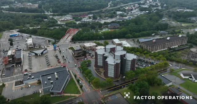 0:26Downtown Residential Campus
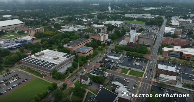 1:04Hospital Campus Avenue
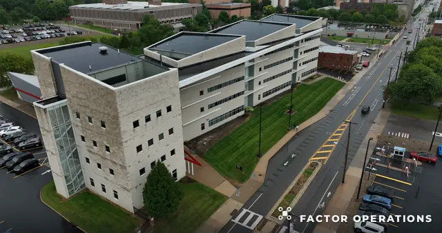 0:29Office Building Aerial Orbit
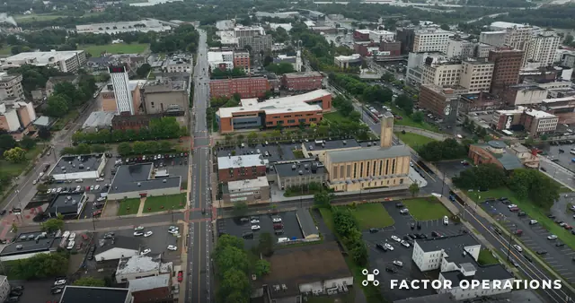 1:54Urban Campus Aerial Tour
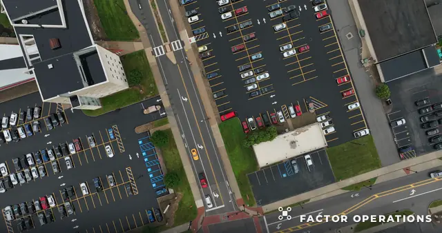 0:33Parking Lots and Modern Building Top Down
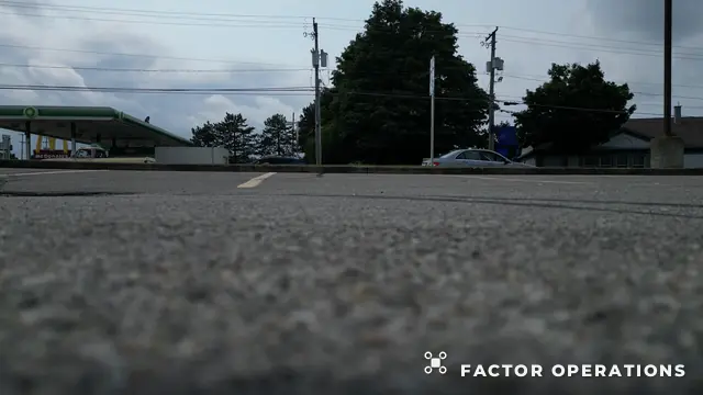 1:35Ground Level Road and Gas Station
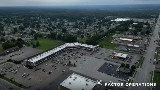 5:34Busy Commercial Boulevard
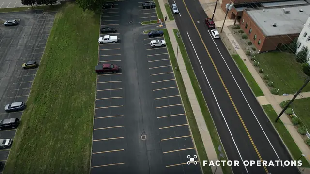 0:22Parking Lots and Road Aerial Short
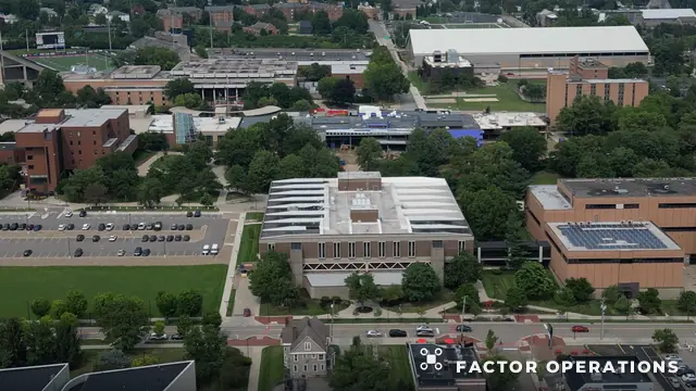 4:33Empty Parking Lot and Road
 2:12Truck Crashes Billboard and Street
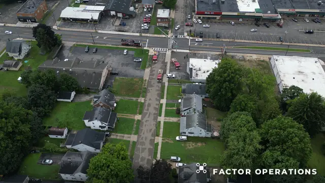 2:27Small Town Intersection and Emergency Vehicles
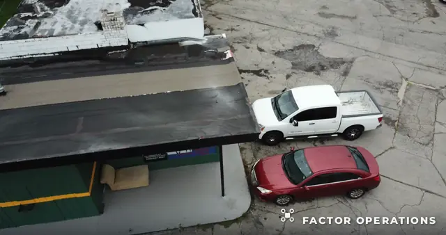 5:06Pickup and Red Car by Workshop Top Down
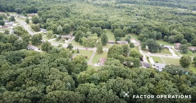 9:05Commercial Building and Accessible Parking Top Down
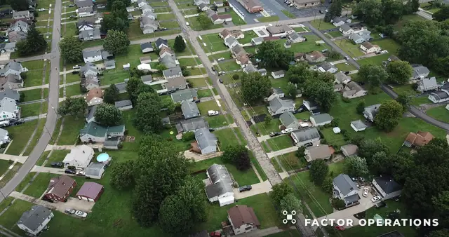 3:24Car Lot and Road Top Down
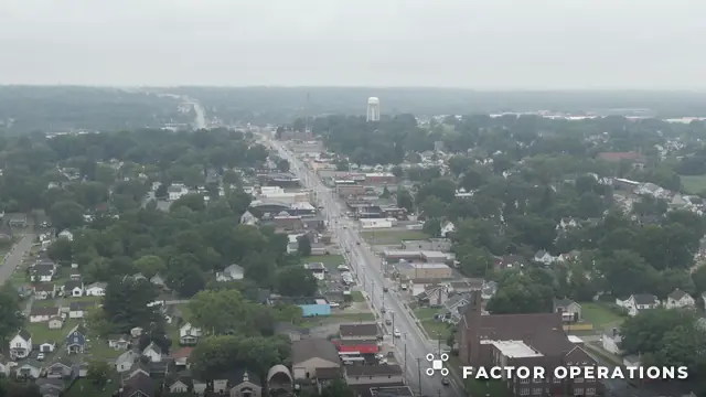 3:27Main Street and Water Tower
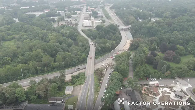 5:01Gas Station and Cell Tower
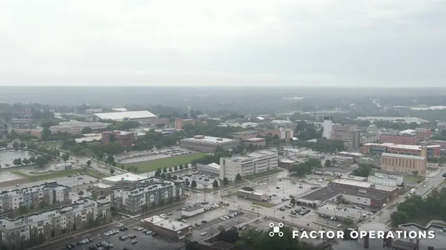 2:45Downtown Avenue Aerial Tour
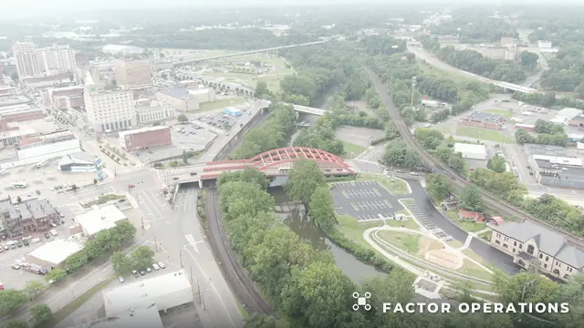 5:01Cloudy Downtown High Aerial Tour
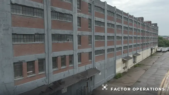 0:17Abandoned Brick Factory Exterior
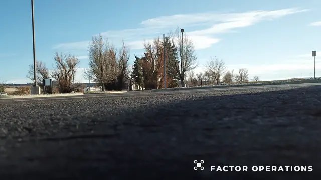 2:40Low Angle Asphalt and Trees
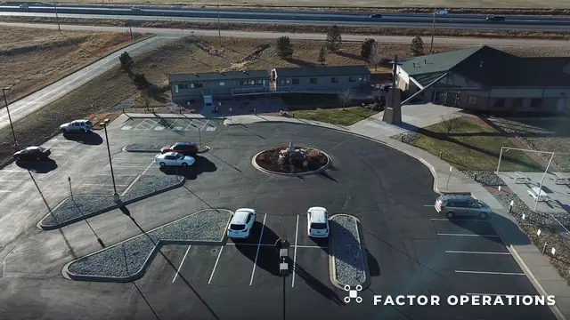 3:04Aerial Parking Lot and Lodge
See something you want?
Every preview here comes from a 4K–5K master. Licensed, unwatermarked files are yours for $30 a photo or $300 a finished minute — or book a flight of your own.